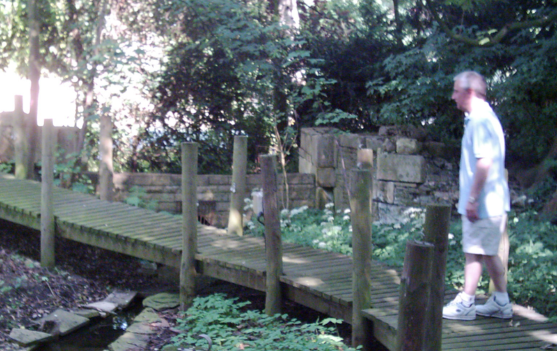
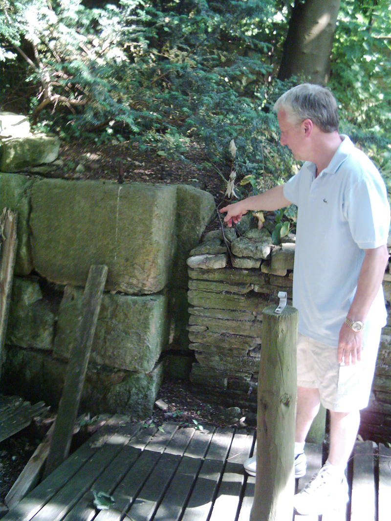
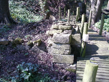
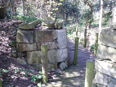
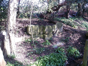
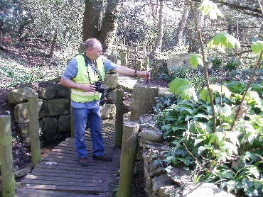
At the rear of West Deeping mill, the remains of Lock 7 are in the grounds of St Andrews Lodge, and may sometimes be visited.
The first 2 photos are from Ken’s first visit in 2006.
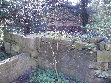
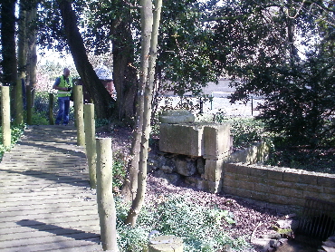
That was followed by a visit in April 2010. Most of the stones are still visible at either end of the lock (but not necessarily in the right order!)
The slightly angled entrance to the lock was still apparent giving room for more than two vessels to be side by side below it.
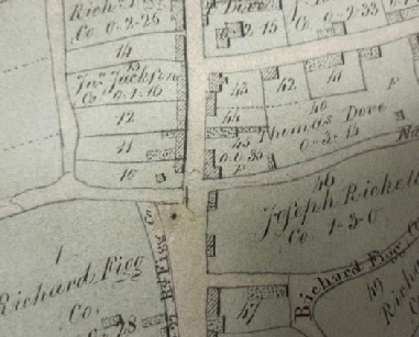
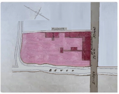
Below the lock was a turning point and a storage area behind the houses (numbered 10 to 15 on the 1813 map), before the flash lock to cross King St. This is confirmed on a later sales map of nos. 10 and 11 (drawn after a stone bridge was built)
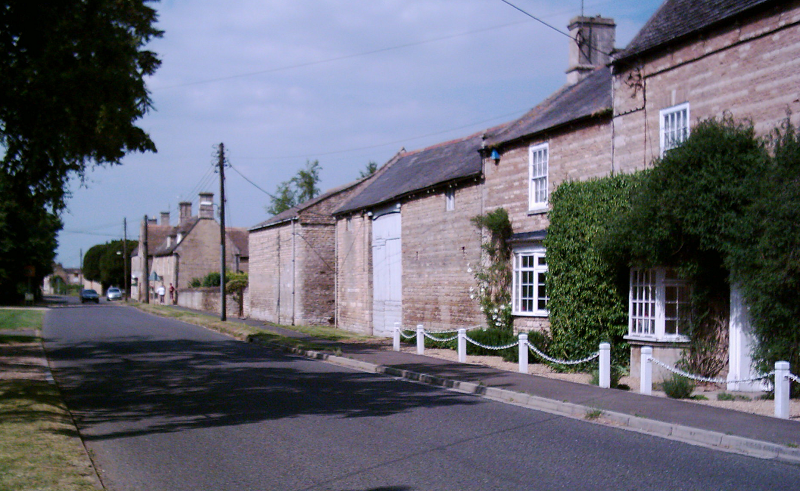
A current view of King Street. The canal crossed just in front of were the car is and went where the white wall is now.
After crossing the road it went on to the corner of Cromwell House before going out of the village to Lock 8, Lammas Close in Eastfield. -->
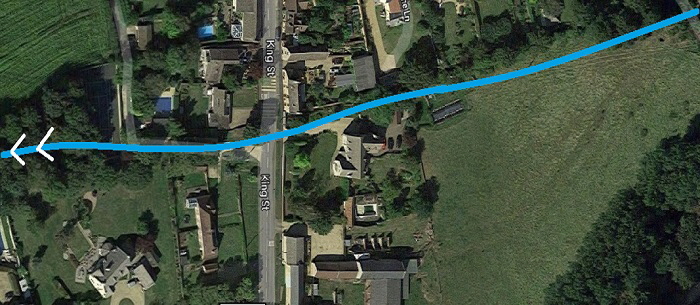
However, there is more to this area than meets the eye!
It was only after a depression in the field opposite Cromwell house was noticed and the old maps relooked at, was it realised there was more to this area than had first been realised - or documented!
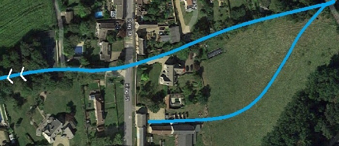
The depression was a spur joined the canal coming from a warehousing area that had been constructed by the local landowner Richard Figg, who lived at no.15 on the map above, where the original storage area went to!
The derricks alongside the barn are still visible.
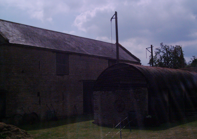
Obviously the storage to the north on the two pictures above hadn’t been sufficient and he had developed his land to the south to handle goods better.
However, there was an obvious problem - water doesn’t flow uphill!
This quandary brought up various suggestions, the most probable being a feed just before the flash lock coming down and across the road below.
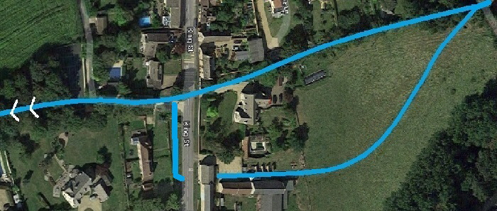 This was the easiest option to envisage, as all of this land was owned by the same person, Richard Figg. It also helped to explain the references in later documents about a second, wooden, bridge constructed by another farmer over the dirty water! So far, so good..... BUT!
On an earlier visit to the lock by Ken Otter, he had been given a rough diagram of what was thought had been there because of some evidence found during the earthworks at the rear of the property to install a swimming pool. This diagram had lain on the bottom of a pile since 2006 as it didn’t seem feasible and couldn’t be corroborated. However, once it was superimposed on the drawing above, everything fell into place!
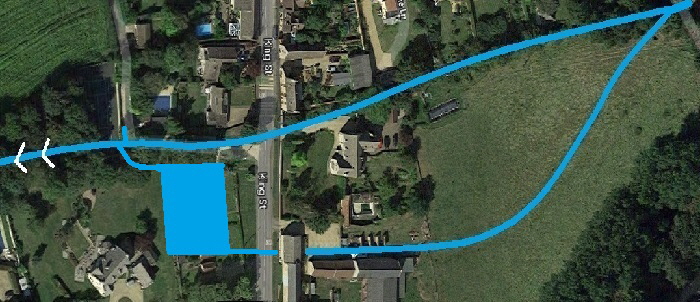
Richard Figg needed more space to store the barges, unload and reload them and then send them on their way. His system needed no horses, as once the full barge had been unhooked near the lock it floated back into the pound then the unloading area before being sent over the field to be hooked up to the rear of the next barge going down.... ingenious - necessity being the mother of invention!
On that - water still flows in the bed of the canal from above the lock and across the front of Cromwell House.
But how? Don't tell anyone but the water for the stream is piped from the river above the mill for a water feature in the gardens alongside! Pipes go under King Street where a flood lock and bridge once stood; and the water then flows through the village until going back into the river downstream - so now a pleasant addition, not a stinking body of water as previously complained about!
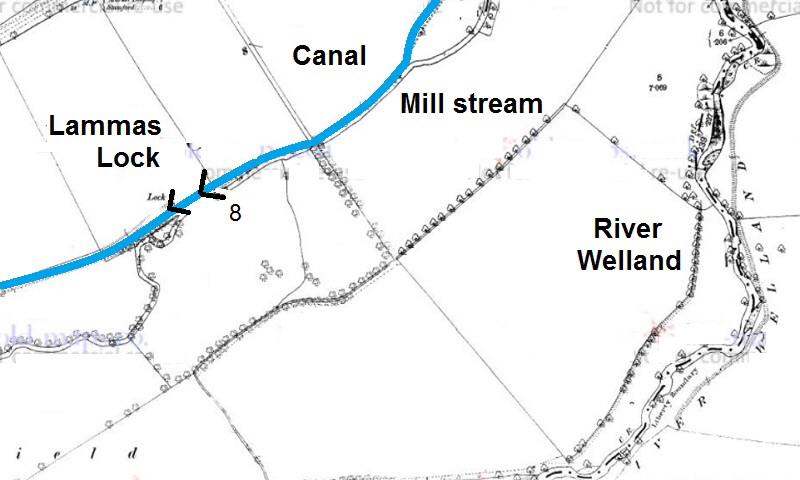
From the corner of Cromwell House the canal went north out of the village alongside the mill-stream to Lock 8, Lammas Close in Eastfield. This was half way to the next mill and obviously used to get the canal level down and reduce the flow of water so close to the river, leaving plenty of flow for the mill wheel.
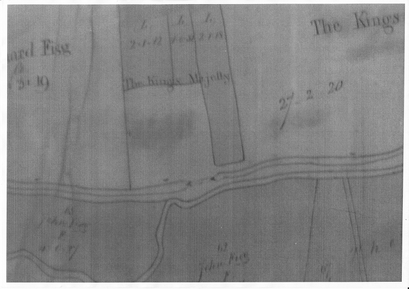
This old map shows the lock position and who owned the land around.
And this gives a better view of its relationship to the mill-stream alongside and the River Welland on the right.
Hopefully this lock may be revealed as the field to the north of it is due to be cleared for gravel extraction in 2023. Watch this space for updates!
< Back Lock 7 St Andrews to Lock 8 Lammas Close
The Stamford Canal << The earliest proper canal in England? <<
