Below the canal bridge on the Barnack Road, there was a ford over the river before this bridge was built.
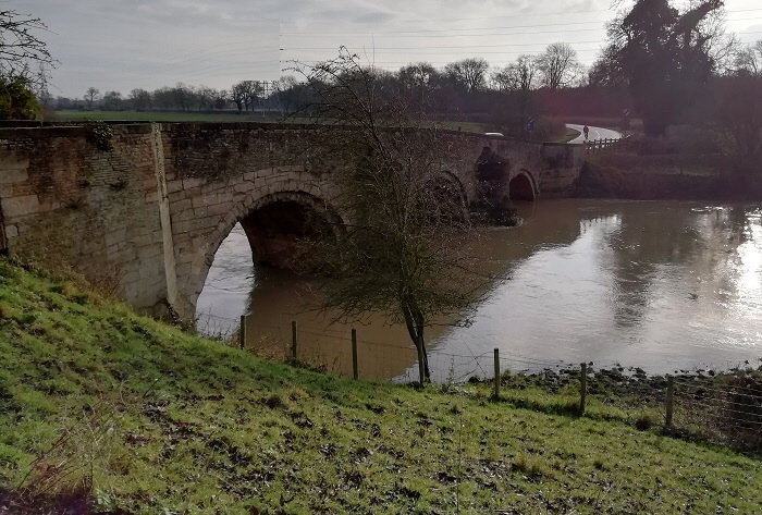
After going under the stone bridge the canal went past a boat house.
As this was the closest point to a road to both Uffington and Barnack it isn’t unreasonable to expect that some transfer of goods took place here especially coal for Uffington and Barnack
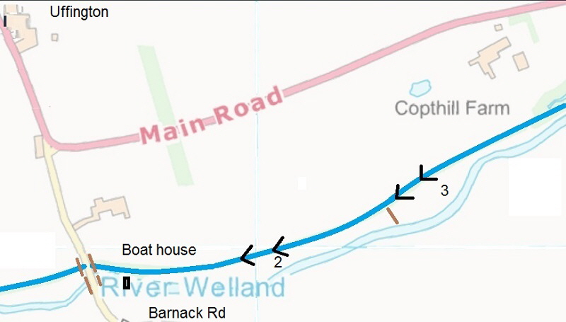
Locks 2 and 3, Copthill Farm West & East, were quite close together with a small bridge between them to allow cattle to get to the river. Although little can be found of either locks, sluices were needed to divert water back to the river below when all of the gates were closed and at least one has been found still in-situ. A site visit by Ken Otter and Keith Simpson allowed some photos and measurements to be taken.
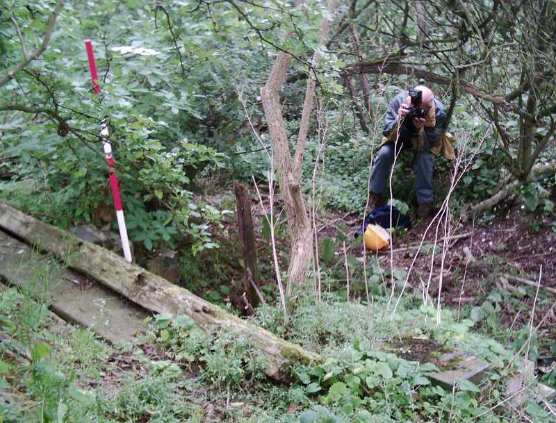
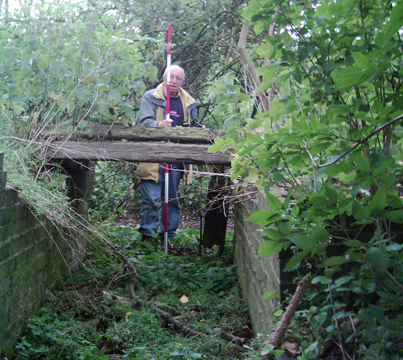
Obviously a sluice, the bridge was necessary for the horse to walk along the canal bank.
Carrying straight on until the hillside swung to the north and the river to the south, the canal went north to the main road and then turned east to go down Lock 4, Copthill Turnpike where tolls from both barges and road traffic were taken!
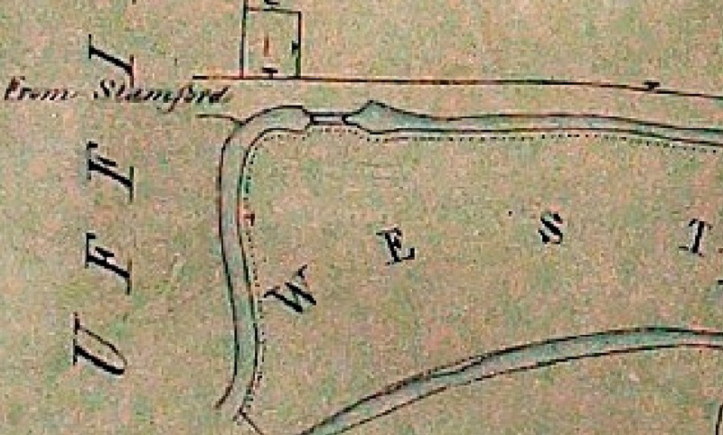
Copthill was the last of the high ground before the route navigated across mainly flat fields towards the fens.
< Back Locks 2, 3 & 4 at Copthill
The Stamford Canal << The earliest proper canal in England? <<
