The Stamford Canal improved the business opportunities in the area especially for getting local produce out but more importantly getting coal in.
Because of its success, during the industrial revolution there were several proposals to use parts of the Stamford Canal route to both extend it inland towards Market Harborough or across country from Cowbit to the River Nene and Peterborough or from Deeping St James to the River Witham and Boston.
The Stamford Canal section’s main destination requirement was to get to and from Stamford and the Deepings; getting round the mills that had been built in Stamford, Tallington and West Deeping, plus Molecey and Thorpe’s Mill.
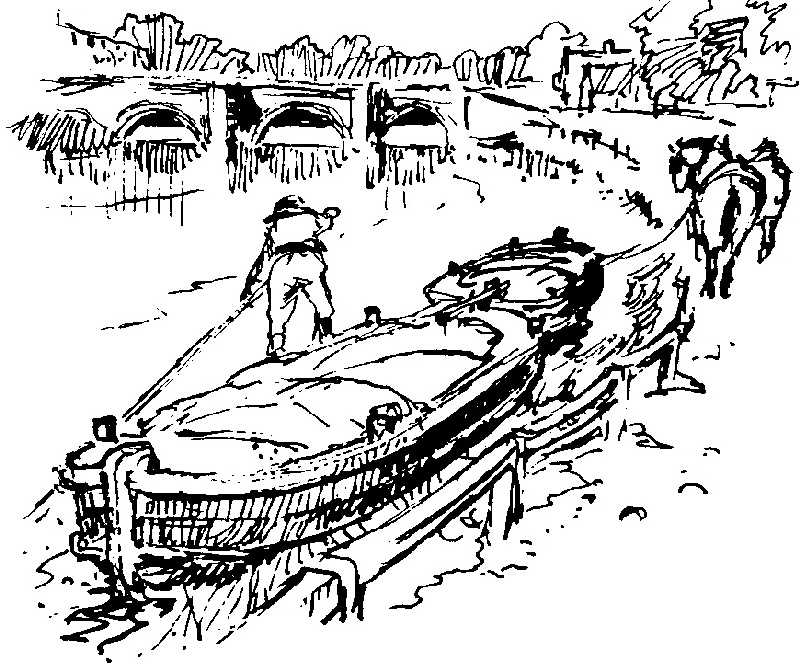
It was mainly horse drawn up and floated down - with trans-shipments at Stamford, Tallington, West Deeping, Molecey Mill and Deeping St James.
So from Stamford to Deeping St James the canal was used regularly.
This scene is between Low and High locks at Deeping St James.
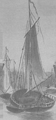 Beyond the Deepings there were no more weirs so where possible the sails were set and the wind took over the motive force in both directions to Spalding, Fosdyke, the Wash and beyond!
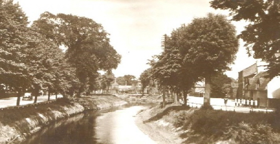
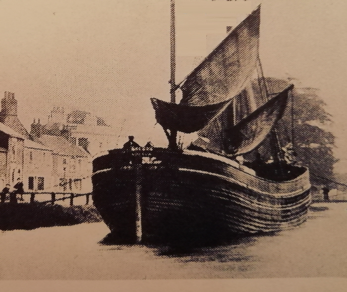
A large sailing barge The navigable river channel through Spalding
A typical lighter moored up in Spalding

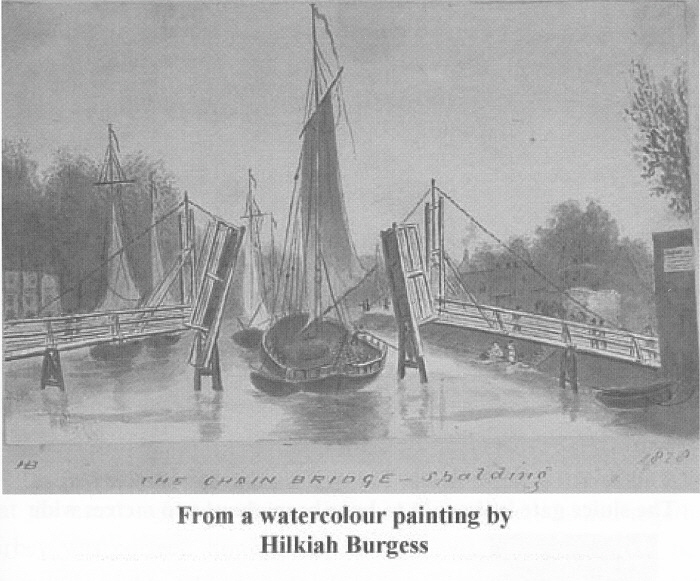
South of Spalding this chain bridge gave access across the river.
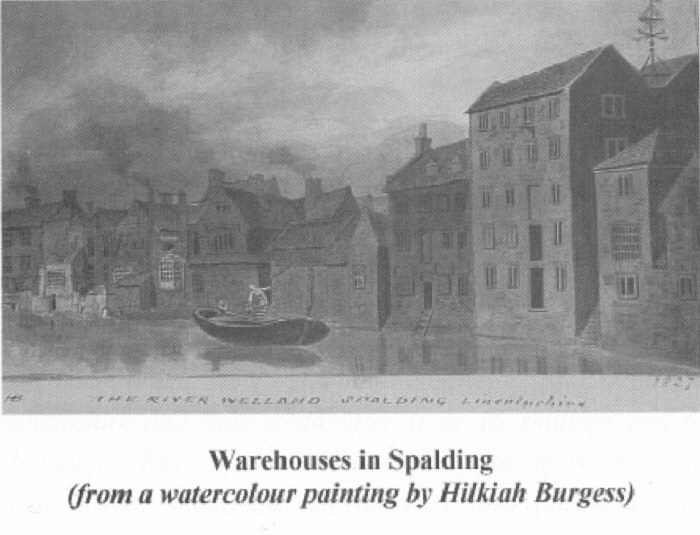
Typical warehouses and properties alongside the river in Spalding
At times there was sufficient level of water for the much larger sailing ships to get up to Spalding - otherwise they had to transfer their loads at Fosdyke.
This is one of those sea-going vessels moored up at Spalding.
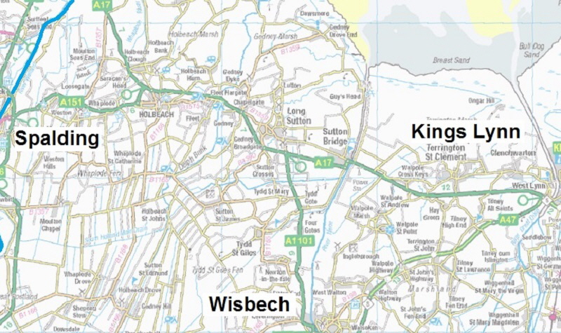
The access from the sea was always a perilous journey due to the shifting sand banks in the Wash and the amount of silt in the bed of the river above Fosdyke. Obviously it improved after heavy rains inland scoured it out but it soon silted up if it wasn’t regularly maintained.
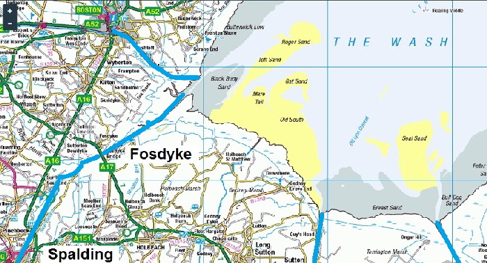
This ‘problem’ was of benefit to the local workers in Fosdyke as there were extra loads to transfer to Spalding when the big ships couldn’t go any further!
At least 4 company owners were registered to trade between Fosdyke and Stamford, with 32 vessels between them - at the end of the 18th century!
An early drawing covering parts of Lincolnshire, showed drains across the fens. This dated from the 17th century, when James I appointed Dutch engineer Cornelius Vermuyden to direct the drainage of the wetlands.
Many local people opposed the scheme as the plan involved commonland on which they grazed cattle. As a result of Vermuyden's work, the fens changed radically in appearance, from an area of flooded marshes to one of extensively farmed agricultural land as this map shows.
Obviously it needed maintenance and at times, closure for repairs;
all of which needed labour!:-
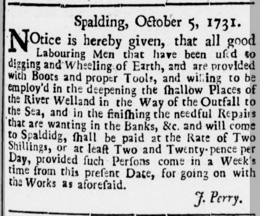
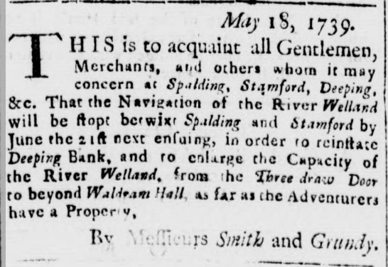
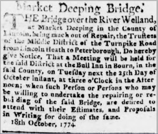
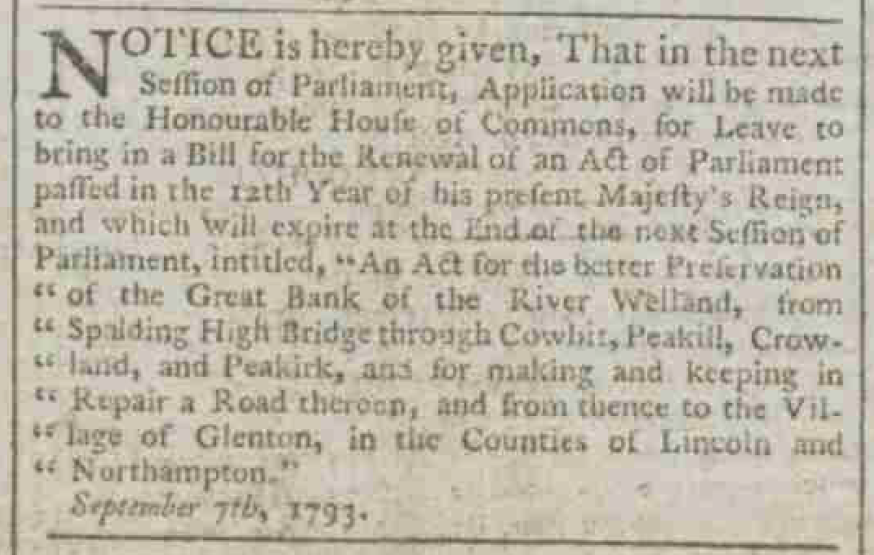
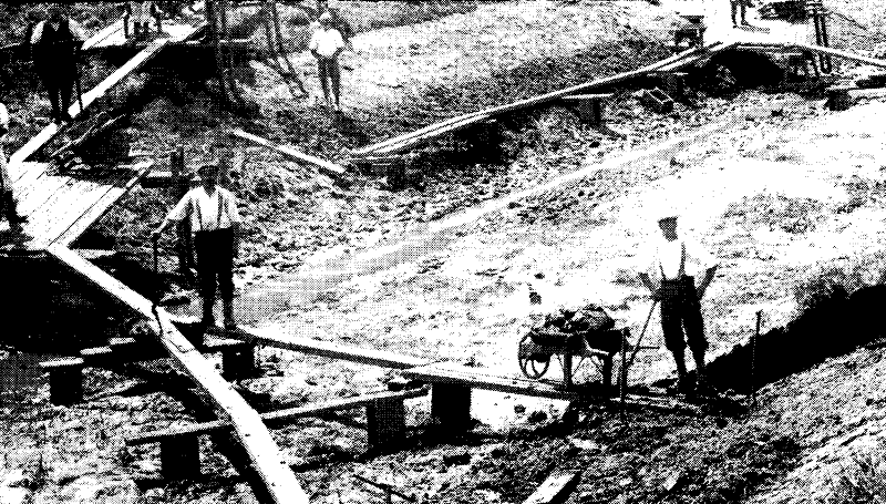
So there was a constant need for maintenance, especially in the main channel of the River Welland.
It was the lack of maintenance of the Stamford Canal that really brought about its early demise from the 1830’s - long before the railways killed it off!
The destination of the Stamford Canal
The Stamford Canal << The earliest proper canal in England? <<
